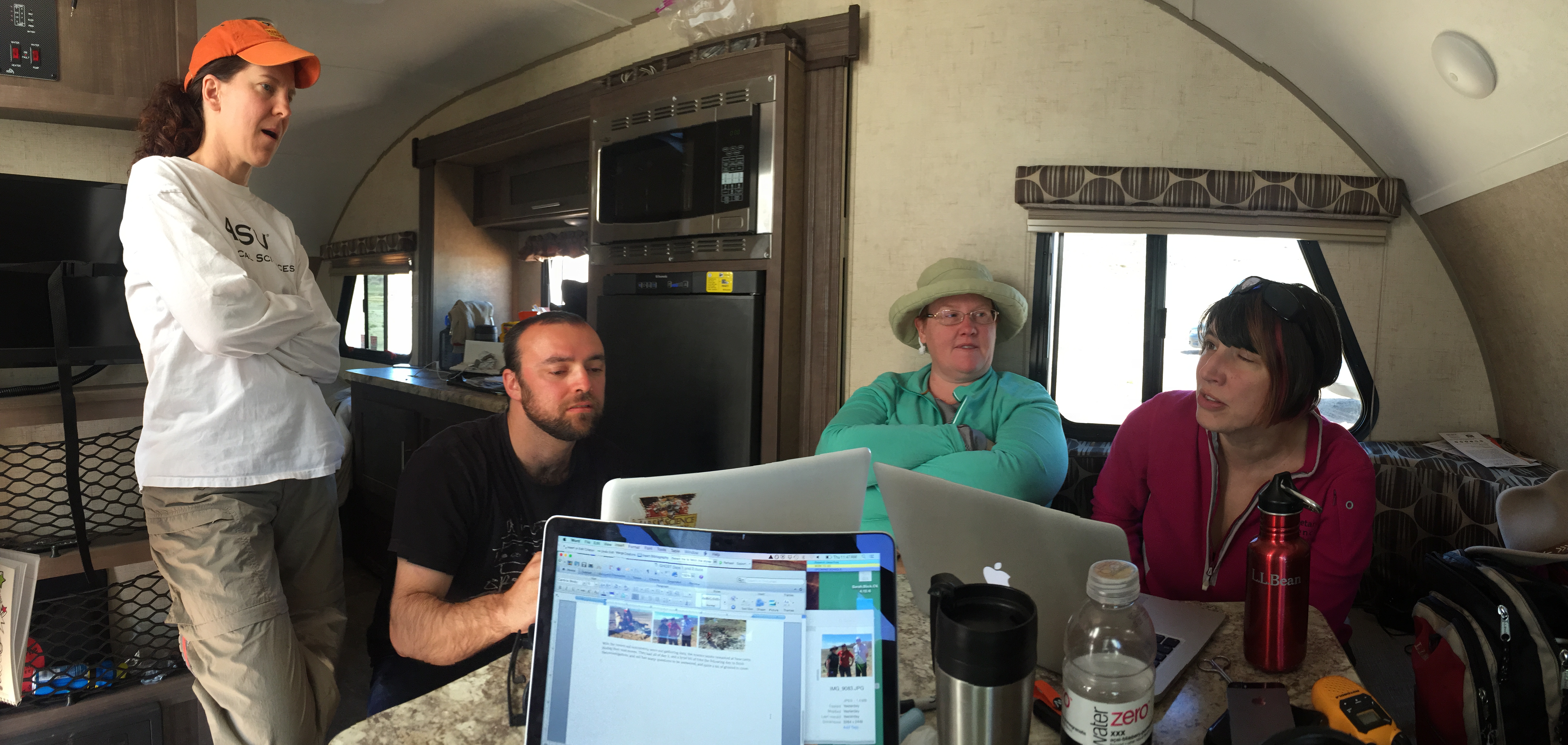
We have an excellent team working on the GHOST project this year! Check out their bios below:
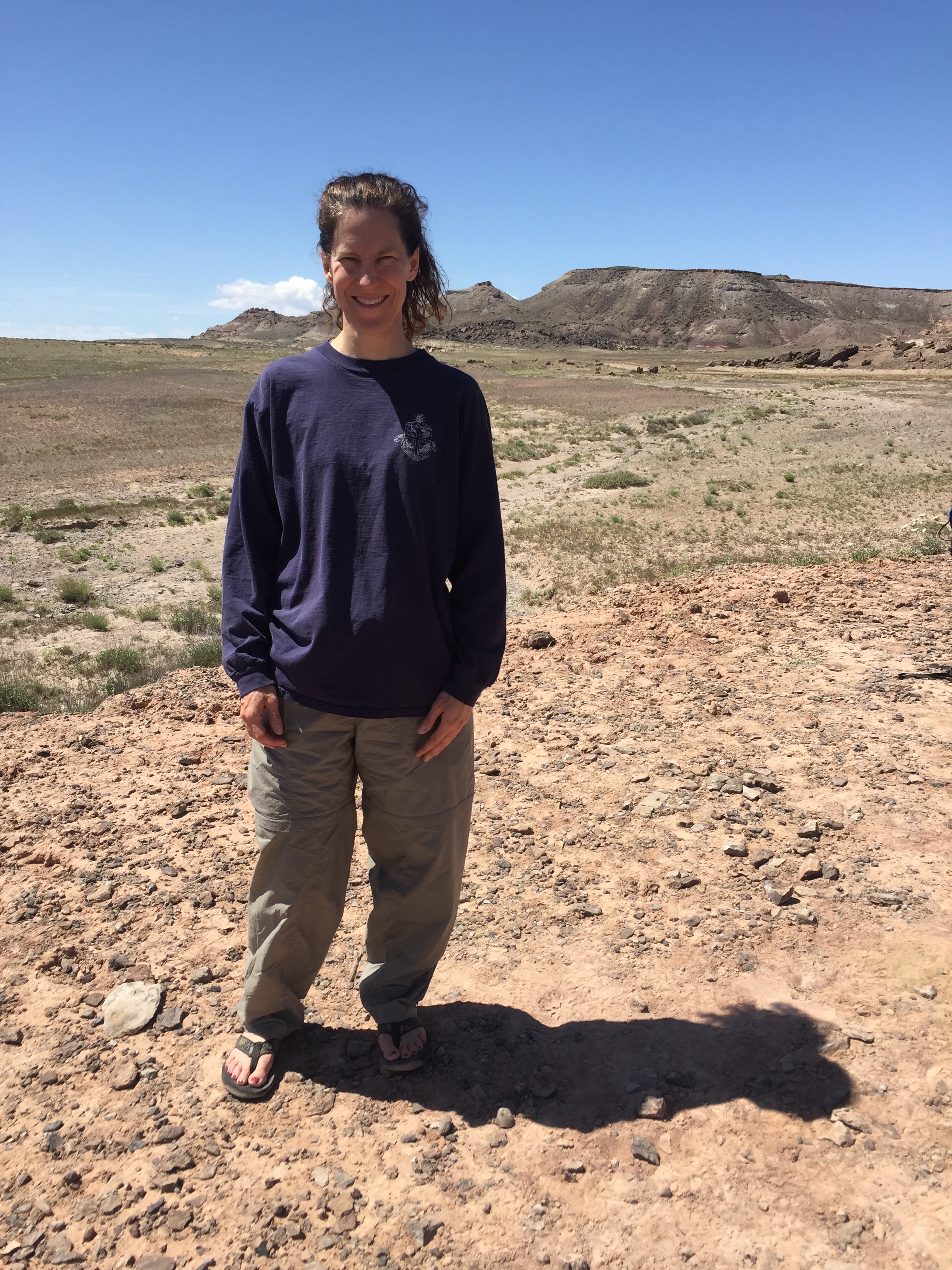
Dr. Aileen Yingst, PI
 Dr. R. Aileen Yingst is a Senior Scientist at the Planetary Science Institute, a research institution headquartered in Tucson, AZ. She is a Participating Scientist on the Mars Exploration Rover Mission and Deputy Principal Investigator for the Mars Handlens Imager instrument on the Mars Science Laboratory rover Curiosity. She is also an associate on the Dawn at Ceres mission. Other missions that Dr. Yingst has worked on include Dawn at Vesta, Mars Pathfinder, Mars Polar Lander, and Galileo. Dr. Yingst served as Director of the Wisconsin Space Grant Consortium for 14 years.
Dr. Yingst received her AB from Dartmouth College in Physics and Astronomy, and her M.Sc. and Ph.D. in Geological Sciences from Brown University. She lives with her family in Brunswick, Maine.
Dr. Barbara A. Cohen
 Dr. Barbara Cohen leads the planetary science group at the Marshall Space Flight Center. Originally from upstate New York, Dr. Cohen earned her BS in Geology from the State University of New York at Stony Brook and her PhD in Planetary Science from the University of Arizona. She is now a planetary scientist at NASA’s Marshall Space Flight Center interested in geochronology and geochemistry of planetary samples from the Moon, Mars and asteroids.
Dr. Cohen serves within NASA representing science interests and capabilities within human spaceflight planning. She is a Principal Investigator on multiple NASA research projects, a member of the mission teams operating the Opportunity and Curiosity rovers on Mars, and the principal investigator for Lunar Flashlight, a lunar cubesat mission that will be launched in 2018. She is the PI for the MSFC Noble Gas Research Laboratory (MNGRL) and is developing a flight version of her noble-gas geochronology technique, the Potassium-Argon Laser Experiment (KArLE), for use on future planetary landers and rovers. She has participated in the Antarctic Search for Meteorites (ANSMET) over three seasons, where she helped recovered more than a thousand pristine samples for the US collection, and asteroid 6186 Barbcohen is named for her.
Dr. Cohen has been involved in GHOST team activities since their inception in 2010. She brings her experience on Mars rover operations and human field simulations to the GHOST rover team and planning activities, while gaining further geologic field skills.
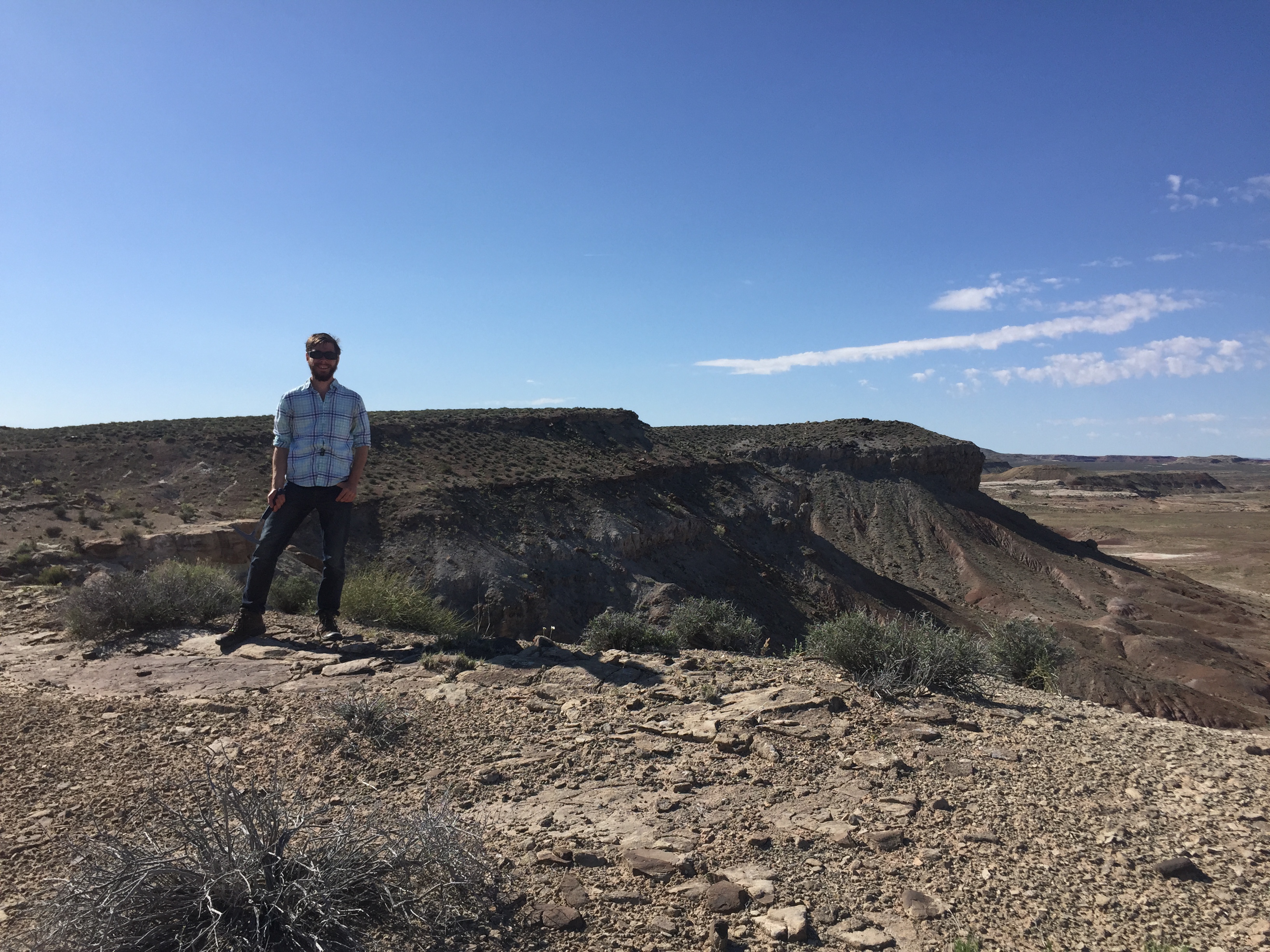
Dr. Brian Hynek
 Brian grew up in Iowa and paid for part of college selling sweet corn on the street corner. Ever since he was little he had a love of rocks and space, so a career in planetary geology fit the bill. After earning his Bachelors at the University of Northern Iowa, he taught high school physics and chemistry in an inner-city school in San Antonio, TX. Then he headed to Washington University and worked with Roger Phillips on various Mars surface process issues. Disliking the flatlands, he headed to Colorado as a post-doc at the the University of Colorado-Boulder. He became a permanent research scientist, and later a tenured professor.
Brian’s research focuses on: (1) planetary geologic mapping of Mars and Mercury, (2) the fluvial history of Mars, (3) Mars volcanism, (4) astrobiology, (5) fieldwork studying hydrothermal systems on modern Earth and how they relate to relic systems on Mars. The latter provides a chance to climb into active volcanoes around the world and understand how they work and how those on early Mars operated.
Dr. Linda Kah
 Dr. Linda C. Kah is the Kenneth Walker Professor of carbonate sedimentology and geochemistry in the Department of Earth and Planetary Sciences at the University of Tennessee.
Linda grew up in the Cuyahoga Valley region of northeastern Ohio and has been pursuing her love of science since kindergarten, when she announced her intention to become a geologist. It only seemed natural….her mom (a polymer chemist) and dad (a metallurgist) had met in a geology class in college and had gone fossil hunting as a first date! After growing up immersed in nature, Linda received concurrent BS and MS degrees in Geology from MIT in 1990, followed by a PhD in Earth and Planetary Sciences from Harvard in 1997. Following postdoctoral research at the University of Missouri, she joined the faculty at the University of Tennessee in 2000.
In her research, Dr. Kah combines her knowledge of sedimentary geology, isotope geochemistry, and biology to decipher how ecosystems arise on planets and how biological processes are interacting with, and are recorded in, geological systems. Dr. Kah’s research has taken her to some of the most remote places on Earth, including more than 120 weeks of field work in the Canadian Arctic, Saharan West Africa, the Ural mountains of Russia, China, and the high Andes of Argentina. In 2004, Dr. Kah set her sites on an even more remote field locality when joined Malin Space Science Systems in their proposal to supply the Mars Science Laboratory mission with the MARDI, MAHLI, and Mast Cameras. Since August 2012, she has worked as a science team member and payload uplink lead in Curiosity’s investigation of Gale Crater.
This is Dr. Kah’s first involvement with GHOST team activities. Fundamentally, Dr. Kah brings to the table her skill as a field geologist. The last few years of rover mission activities, however, have opened her eyes to the necessity of human field simulations as a mechanism to advance our rover planning abilities.
Dr. Michelle Minitti
 Michelle Minitti, a Senior Scientist at the Planetary Science Institute, began her academic career at the University of Arizona where she earned a B.S. in materials science and engineering in 1995. Through a planetary science elective at the University of Arizona, she discovered she could apply her materials science training to the study of planetary materials, and thus a career in geology was born. Michelle earned her M.Sc. (1998) and Ph.D. (2001) in geological sciences from Brown University, investigating a range of topics including the effect of impact shock on water and hydrogen isotopes in amphibole and potential links between the Martian meteorites and lithologies detected by both landed and orbital Mars missions.
After a one year postdoctoral fellowship at the Carnegie Institute for Science Geophysical Laboratory in 2001, Michelle began a ten-year tenure at Arizona State University (ASU). She gained research and management experience through a variety of roles including a postdoctoral research associate position in the NASA Astrobiology Institute, the interim and assistant director of the Center for Meteorite Studies and a faculty research associate. At ASU, her research interests focused on the interpretation of spectral and chemical data from orbital and landed Mars missions, but she also started her own involvement with a Mars mission as a Co-Investigator on the Mars Hand Lens Imager (MAHLI) investigation for the Mars Science Laboratory (MSL) mission.
Since the successful landing of MSL’s Curiosity rover in Gale crater, Mars in 2012, Michelle has been involved with both MAHLI and the Mars Descent Imager (MARDI), supporting strategic planning and tactical use of both cameras through operations roles, and analyzing and interpreting their data to further our understanding of the Gale crater landing site.
Michelle joins the GHOST team for the first time, looking to apply her experience with Curiosity rover operations to the field test. In turn, she seeks to apply lessons learned in the field to maximizing the science return of Curiosity and future landed missions.
Dr. Rebecca Williams
 “Why?” has been Becky’s favorite question since three years of age as she interrogated her geologist father conducing his dissertation research in Montana. To this day, she still enjoys teasing out answers from the rock record at field sites in Utah, California, Australia and the Atacama Desert in Chile. She received her training at Franklin & Marshall College for undergraduate and pursued a doctoral degree in planetary geology at Washington University in St. Louis. Becky is a senior scientist with the Planetary Science Institute and works from Madison, Wisconsin where she resides with her husband and two daughters. Becky is a science team member of the THEMIS and CTX instruments and a participating scientist with the Mars Science Laboratory Curiosity rover. This is Becky’s first GHOST mission as part of the Tiger Team. She is looking forward to advancing protocols that maximize the scientific return from future rover missions.
Tom Chidsey
 Tom grew up in the Washington DC metropolitan area. As the “senior citizen” of the GHOST mission, Tom followed the early days of human space exploration throughout his childhood, from when in the third grade he watched Alan Sheppard blastoff in the Redstone rocket to the first landing on the moon to help celebrate his 17th birthday, July 20, 1969. Tom has been fascinated with planetary geology and is thrilled to help the Tiger Team of the GHOST mission. Tom graduated with Bachelor and Master of Science degrees in geology from Brigham Young University. For his thesis, Tom investigated the complex structures and mapped the surface geology of the House Range in western Utah under the direction of the late, great Lehi Hintze known as the “Father of Utah Geology.” After spending 13 years in the petroleum industry with Exxon in South Texas and Questar in the Rocky Mountain region, Tom joined the Utah Geological Survey in 1989 where he is a Senior Scientist. His research includes petroleum reservoir studies (especially carbonates including microbialites), oil and gas field summaries, carbon dioxide capture and sequestration, the geology of Utah’s parks, and outcrop reservoir and occasional Mars analog investigations. The Tiger Team is drawing on Tom’s many years of experience and extensive knowledge of Utah geology to assist with the GHOST mission.
Dr. Rebecca Thomas
 Dr. Rebecca Thomas is a Research Associate in planetary geology at the Laboratory for Atmospheric and Space Physics at the University of Colorado, Boulder.
Rebecca grew up in Oxfordshire in the UK, and took a rather circuitous route to planetary geology. She initially gained her Masters in Archaeology from Edinburgh, Scotland, in the late 90s. She then spent 10 years as an internet entrepreneur in the Caribbean and Malta, before giving in to the urge for discovery and returning to the UK to gain a BSc in Earth Sciences from Birkbeck College, University of London. During these studies it became clear to her that she found the geology of other planets even more fascinating than that of our own, so, for her PhD, she moved to The Open University, UK, to research the planet Mercury. Using brand-new data from NASA’s MESSENGER spacecraft, then orbiting the planet, she made few discoveries about surprisingly recent explosive volcanism and active sublimation from Mercury’s surface.
On achieving her PhD, a life-long interest in Mars and a strong interest in future human presence there led her to seek a post-doctoral position where she could broaden her research to the Red Planet. Luckily, the GHOST mission’s Site God, Brian Hynek, was seeking a postdoctoral researcher to work on both Mercury’s and Mars’ geology in Boulder, CO – a perfect fit. She has been at LASP since January 2016, getting stuck in to projects on both planets.
She will be lending her legs to the GHOST team as a rover (endeavoring to keep her geological interpretations to herself!) and looks forward to seeing how both the decision-making processes within teams and the trade-offs in time and science between teams pan out.
Dr. Geoff Gilleaudeau
 Geoff was born in Queens, New York, and did not have natural sciences on his radar at all as a kid. He went to Binghamton University in rural upstate New York as an undecided major, and left with a newfound love for the outdoors and geology. A cross-country trip to Death Valley cemented his love for travelling and field geology. He did a PhD in sedimentology, stratigraphy, and geochemistry at the University of Tennessee, with an interest in the Precambrian Earth. Specifically, he became interested in the history of animal evolution, ocean chemistry, and the history of Earth surface oxygenation as recorded in sedimentary rocks. After his PhD, he taught Earth System History at Bucknell University in Pennsylvania, before moving on to a postdoc on metal isotope geochemistry at the University of Copenhagen in Denmark. After two years in Scandinavia, Geoff is currently a NASA astrobiology postdoctoral fellow at Arizona State University. He brings an expertise in field sedimentology and stratigraphy to the GHOST team as his first experience in planetary geoscience.
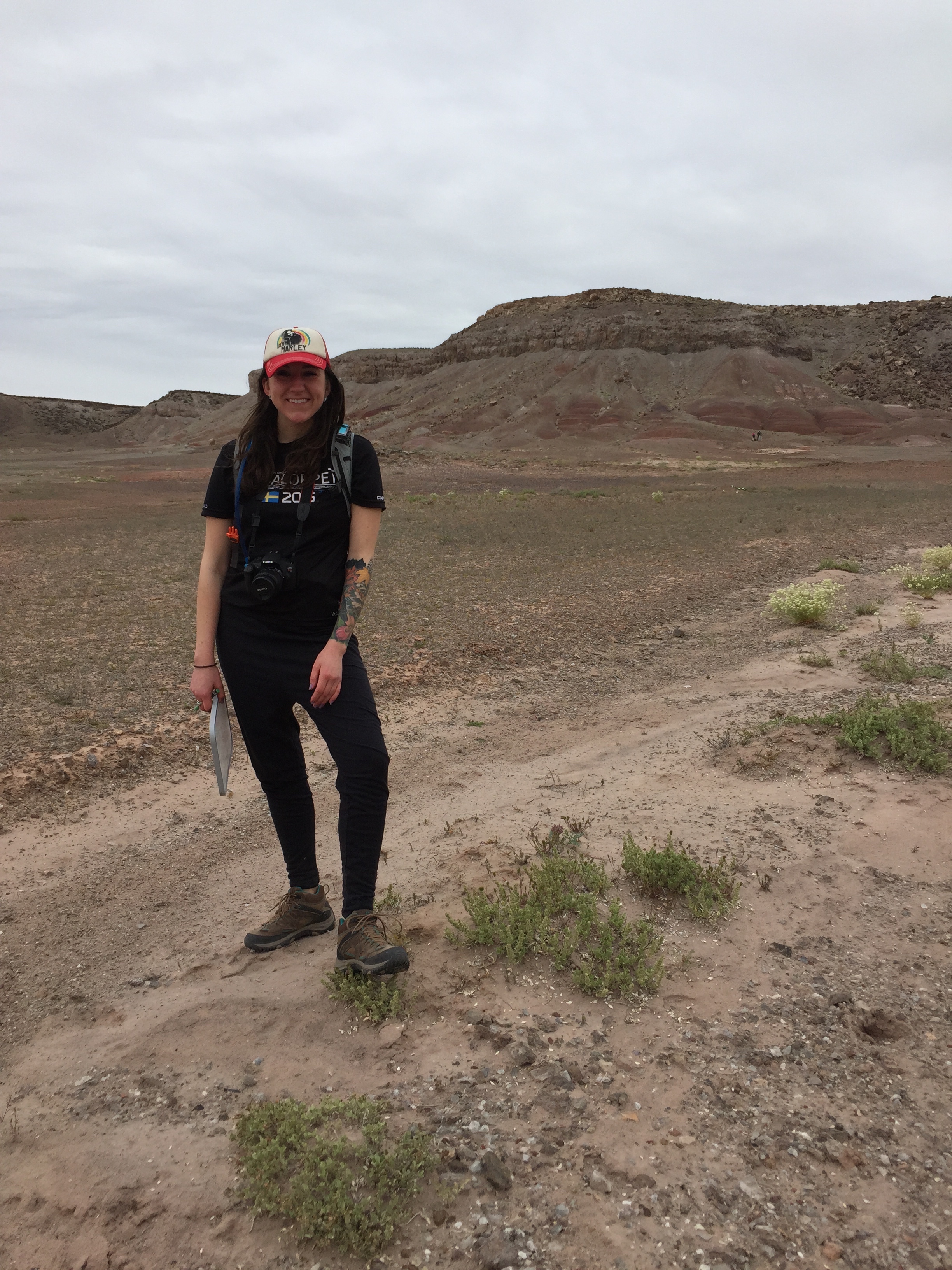
Sarah Black
 Sarah Black received her Geology BA in 2004, and Geology MS in 2006 – both from the State University of New York at Buffalo. For her MS, Sarah worked with Dr. Tracy Gregg (who is 100% responsible for luring Sarah away from her original undergraduate plan of biomedical science and stem cell research – thank goodness), and conducted a morphological and statistical analysis of volcanoes on Io – the innermost moon of Jupiter.
After completing her MS, Sarah worked at Malin Space Science Systems, where she targeted the Mars Orbiter Camera (MOC) on the Mars Global Surveyor (MGS) spacecraft, and the Context Camera (CTX) on the Mars Reconnaissance Orbiter (MRO) spacecraft. She then returned to her hometown in Upstate New York, where she taught introductory geology courses at Skidmore College for several years.
Sarah is currently a third year Ph.D. student at the University of Colorado Boulder in Brian Hynek’s Surface Processes And Continuing Evolution of Contemporary Analogous TerraneS (SPACECATS) lab. For her dissertation research, Sarah is studying hydrothermal systems in Costa Rica and Iceland, which may be useful analogs for early Mars. Sarah’s current research focuses on instrumentation techniques (VNIR, XRD, Raman), mineralogy, geochemistry, and astrobiology. She is also interested in physical volcanology, computer modeling, and geological mapping. Sarah has fallen in love with fieldwork over the years, and has been fortunate enough to travel to Hawaii, Yellowstone, all over the desert southwest, New Zealand, Costa Rica, and now Iceland, and call it “work.”
Besides the trials and tribulations of grad school, Sarah enjoys time with her two crazy dogs, and exploring the beautiful trails all over Colorado. She is currently training for her first 100 mile running race, because she does stupid things.
For this year’s GHOST project, Sarah will be operating the VNIR instrument and enjoying wandering the Utah desert.
John Gemperline
 John Gemperline is beginning a PhD program in planetary geology at CU Boulder in the Fall of 2016 with Dr. Hynek. He studied geology and geography as an undergraduate at both East Carolina University and the University of North Carolina at Greensboro, and has also dabbled in classics and music.
John first began studying planetary geology in middle school when his science club participated in the Mars Student Imaging Project in 2002. He interned at NASA Goddard Spaceflight Center in 2012 where he studied craters around Martian outflow channels and visited Mars analog sites in Arizona. For the past year John has been mapping the area around the Rembrandt impact basin and studying lobate scarps on Mercury.
While sitting in on Dr. Hynek’s class, John was able to visit a previous GHOST field site on a class field trip that involved each student drawing a nominal rover traverse. John is excited to be the XRD instrument and not on rover ops after his own imaginary rover ended up driving off a cliff last fall. He has been honing his XRD skills and will be providing crystallographic and mineralogical analysis for the two rover teams and Tiger team.
Ruby Schaufler
 Ruby is an undergraduate student at Gustavus Adolphus College in St.Peter MN. Ruby was brought on to the GHOST team this fall and plans to do some additional research with the team for her senior thesis. She will be working as a rover in the field this week and is looking forward to meeting everyone!
Dr. Julie Bartley
Julie Bartley grew up in Southern California and completed an AB in Chemistry at Bryn Mawr College and an MS in Chemistry at UCLA before becoming a geologist and earning a PhD in Geology at UCLA. Following postdoctoral research at NASA Ames Research Center and Harvard University, Julie joined the faculty at the University of West Georgia. She moved to Gustavus Adolphus College in 2009, where she is now an associate professor and chair of the Geology Department.
Julie’s research interests lie in the interface of biology, chemistry, and sedimentary processes on the early Earth. She studies microbial ecosystems, the fossilization of microbes, and the geologic structures left behind by microbes. This interest in ancient and microbially-dominated ecosystems has taken her to saline lakes in the Andes and to spectacular microbial reefs of West Africa and the Canadian Arctic. Recently, she’s worked on relatively young microbialites in Wyoming and relatively old ones in southern Ontario. This is her first GHOST project, and she’s sitting out this round of fieldwork because her hobby, judo, got in the way of geology in the form of a broken leg. She’ll remain firmly “planet-side” as the GHOST team explores its Mars-analog region.
Other 2016 GHOST rover posts:
2016 Utah “Rover” Tests: Our Mission
2016 GHOST Rover Tests: Our Tools
2016 GHOST Rover Tests: Day 1
2016 GHOST Rover Tests: Day 2
2016 GHOST Rover Tests: Day 3


You must be logged in to post a comment.